UAS: The Future of Disaster Response and Surveillance

Dato' Prof. Dr. Shattri Mansor
Geospatial Information Science Research Centre
Universiti Putra Malaysia, Malaysia
ABSTRACT
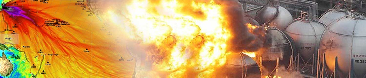
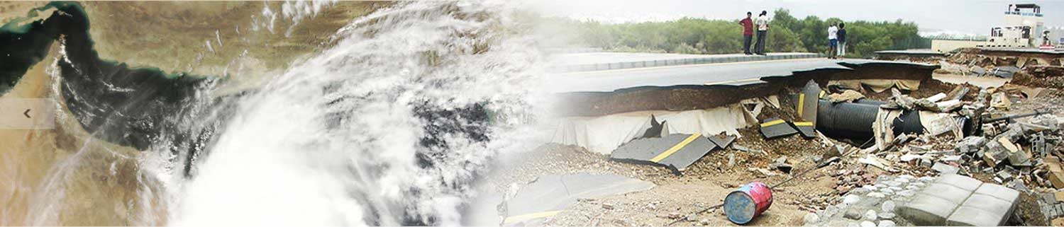
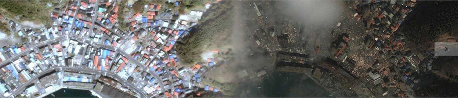
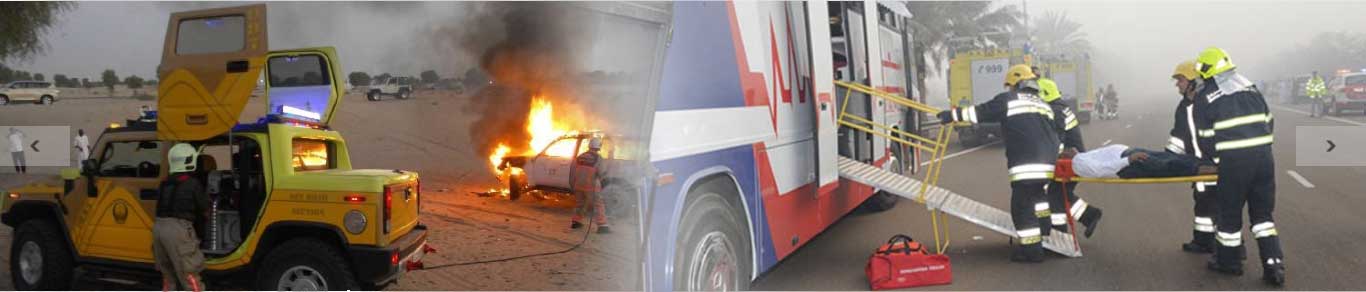
Surveillance and natural disaster management have been mentioned to be one of the largest markets for unmanned autonomous vehicles, sensors, and systems (UAS) technology, particularly when spaceborne technology, manned airborne and in situ methods are not as efficient for various reasons. The reasons include the spatial and temporal resolutions, accessibility, speed, cost efficiency and operational safety. This has in turn highlighted a growing need for the development of data acquisition and data processing techniques, rather than just the vehicle, across many domains. Robust methodologies and reliable results are very critical for successful applications of UAS. This presentation will cover all the major potential applications of UAS in surveillance and natural disaster management and will discuss existing challenges and opportunities in utilizing this technology.
Keywords: unmanned aerial system; natural disaster management; image processing; surveillance; data acquisition.
BIO
Prof. Dr. Shattri Mansor, is the Head of the Remote Sensing and Geospatial Center, Universiti Putra Malaysia. He was the Director of Development, Universiti Putra Malaysia. Dr. Shattri maintains a diverse research interest including image processing, remote sensing and GIS. His major research effort includes feature extraction from satellite imagery, spatial decision support system, fish forecasting, oil spill detection and monitoring system, UAV-based remote imaging, disaster management and early warning system. Dr. Shattri has published over 250 articles in journals and conference proceedings. Dr. Shattri holds membership to various organizations and institutions. He is currently Co-Chairman for the International Society of Photogrammetry & Remote Sensing (ISPRS) Working Group II/7, editorial Board member of The Malaysian Surveyor Journal, an executive committee for the Malaysian Remote Sensing Society (MRSS) and an executive committee for the Institution of Surveyors Malaysia (GLS Division).
Keynote Speakers' List• Abstracts Proceedings (Final)
• Complete Conference Program (Final)


Video by Abu Dhabi TV Covering the Conference

Submission of abstracts: 30 September 2015
Notification of acceptance: 15 October 2015
Full papers submission: 31 October 2015
Early bird registration extended to: 31 October 2015
Registration Deadline: 30 November 2015
Conference Documents